| |
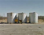
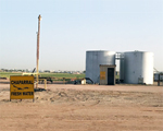
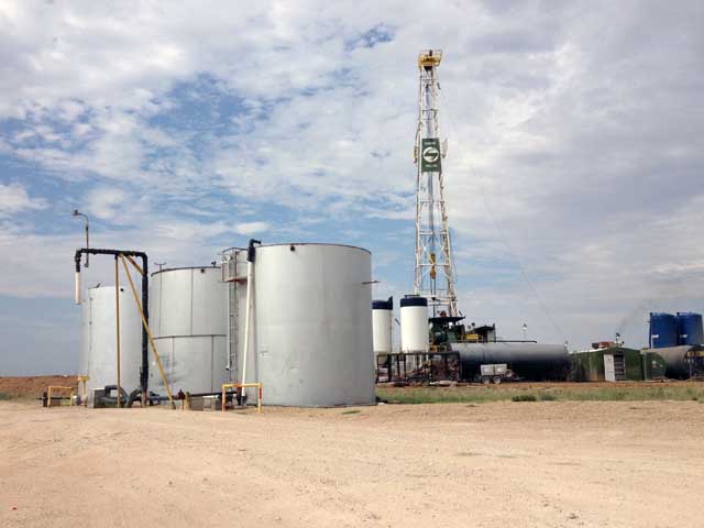
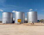
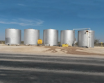
5 Points |
| |
Water: |
Non-Potable |
|
| |
Directions: |
● 1-1/4 miles West of Hwy 158 on CR 120 (Ridge Rd)
● 2-3/4 miles East of Hwy 349 on CR 120 (Ridge Rd)
● 3/4 mile East of FM 715 on CR 120 (Ridge Rd)
|
| |
Other: |
Loading Pump |
| |
GPS: |
31°58'03.2"N 102°01'29.3"W (31.967549, -102.024810)
|
| |
Map: |
Map
|
| |
| |
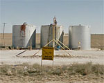
Crazy Corners |
| |
Water: |
Non-Potable |
|
| |
Directions: |
● 7 miles South of Hwy 158 on FM 1379
● 3 miles North of FM 110 (E CR 280) on FM 1379
|
| |
Other: |
Loading Pump |
| |
GPS: |
31°49'06.8"N 101°47'37.0"W (31.818557, -101.793621)
|
| |
Map: |
Map
|
| |
| |
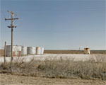
E Windham |
| |
Water: |
Non-Potable |
|
| |
Directions: |
● 4 miles North of FM 1787 on Hwy 349
● 11 miles South of West CR 140 on Hwy 349
● 9 miles South of FM 1213 on Hwy 349
|
| |
Other: |
Loading Pump |
| |
GPS: |
31°46'16.5"N 102°01'35.6"W (31.771245, -102.026554)
|
| |
Map: |
Map
|
| |
| |
FM 715 |
| |
Water: |
Non-Potable |
|
| |
Directions: |
● At the intersection of FM 715 and FM 1213 (E CR 160)
● 2 miles East of Hwy 349 on FM 1213 (E CR 160)
|
| |
Other: |
|
| |
GPS: |
31°54'30.4"N 102°01'05.6"W (31.908435, -102.018229)
|
| |
Map: |
Map
|
| |
| |
Gun Club |
| |
Water: |
Non-Potable |
|
| |
Directions: |
● At the intersection of FM 1213 and CR 150
● 4 miles South of Hwy 158 on FM 1213 (E CR 160)
● 5 miles East of Hwy 349 on FM 1213 (E CR 160)
|
| |
Other: |
Loading Pump |
| |
GPS: |
31°55'47.3"N 101°59'21.9"W (31.929803, -101.989431)
|
| |
Map: |
Map
|
| |
| |
S Hwy 349 |
| |
Water: |
Non-Potable |
|
| |
Directions: |
● 1/4 mile North of FM 1213 and Hwy 349
● 1-3/4 mile South of W CR 140 on Hwy 349
|
| |
Other: |
|
| |
GPS: |
31°54'09.7"N 102°03'06.3"W (31.902685, -102.051754)
|
| |
Map: |
Map
|
| |
| |
Windham |
| |
Water: |
Non-Potable |
|
| |
Directions: |
● 500 yards West of CR 1240 on FM 1787
● 4 miles West of Hwy 349 on FM 1787
● 4 miles East of FM 1788 South on FM 1787
|
| |
Other: |
Loading Pump |
| |
GPS: |
31°41'54.3"N 102°04'40.1"W (31.698422, -102.077806)
|
| |
Map: |
Map
|

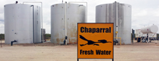
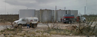
 Chaparral
operates non-potable water stations throughout the Permian Basin of West Texas. We currently have 16 non-potable water stations available in
Andrews,
Ector,
Gaines,
Glasscock,
Martin,
Midland,
Reagan, and
Upton counties.
Chaparral
operates non-potable water stations throughout the Permian Basin of West Texas. We currently have 16 non-potable water stations available in
Andrews,
Ector,
Gaines,
Glasscock,
Martin,
Midland,
Reagan, and
Upton counties.
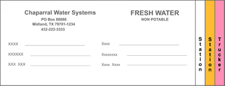 Each
water station has water tickets for drivers to complete and leave at the water station. The driver is required to
complete all the requested information on the ticket to ensure accurate records for purchases. The driver will keep the
"pink" copy of the water station ticket for their records. The driver will place the
"white" and
"yellow" copies of the water station ticket in the lock box.
Each
water station has water tickets for drivers to complete and leave at the water station. The driver is required to
complete all the requested information on the ticket to ensure accurate records for purchases. The driver will keep the
"pink" copy of the water station ticket for their records. The driver will place the
"white" and
"yellow" copies of the water station ticket in the lock box.
 Throughout the year, Chaparral will perform maintenance and upgrades to our water stations.
Chaparral tries to minimize any down time for the water station, but at times we must temporarily
close a water station. Check here for the latest updates on scheduled maintenance on our water stations.
Throughout the year, Chaparral will perform maintenance and upgrades to our water stations.
Chaparral tries to minimize any down time for the water station, but at times we must temporarily
close a water station. Check here for the latest updates on scheduled maintenance on our water stations.